


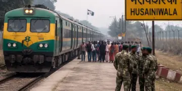
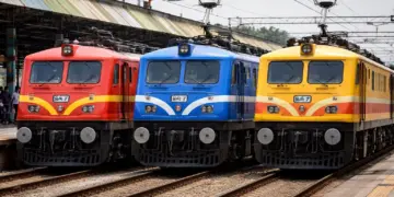
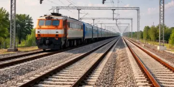
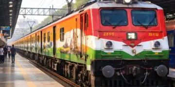
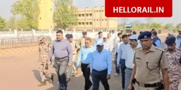
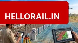
The Samastipur Railway Division is moving towards a digital system to manage its land records. An online database is being created under the Track Management System to keep a close watch on every inch of railway land. This move will help the administration identify and stop illegal encroachments more effectively.
🚨: Konch Railway Station: Work on new track and goods shed to speed up after DRM visit।
How will the digital mapping process work?
The Railway Board has appointed a specialized agency to carry out this mapping in coordination with the Engineering Department. Officials are visiting sites to collect detailed data on land usage, boundaries, and current status. This information, along with photography and videography, is being uploaded to a central system. Once complete, officials from the division, zone, and Railway Board will be able to monitor the land and its documents on a single platform.
Which areas have been covered in the survey?
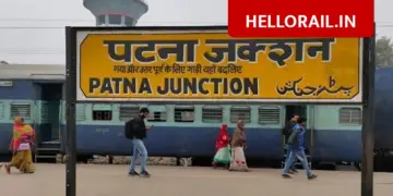
The detailed survey has already been completed for several key rail sections. The data collection includes the following routes:
| Rail Section | Status |
|---|---|
| Samastipur-Muzaffarpur | Survey Completed |
| Samastipur-Rosera | Survey Completed |
| Samastipur-Barauni | Survey Completed |
| Samastipur-Darbhanga | Survey Completed |
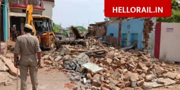
The system will clearly categorize the land into different types, such as vacant land, commercial use, or land used for makhana production, plantations, and other settlements. Priority is currently being given to major railway stations, colonies, and workshops.
Frequently Asked Questions (FAQs)
What is the purpose of the Track Management System in Samastipur Division?
The system aims to create an online database of all railway land to make monitoring easier and prevent illegal encroachments across the division.
Which rail sections have completed their land survey?
The survey is complete for Samastipur-Muzaffarpur, Samastipur-Rosera, Samastipur-Barauni, and Samastipur-Darbhanga rail sections.
{“@context”: “https://schema.org”, “@type”: “FAQPage”, “mainEntity”: [{“@type”: “Question”, “name”: “What is the purpose of the Track Management System in Samastipur Division?”, “acceptedAnswer”: {“@type”: “Answer”, “text”: “The system aims to create an online database of all railway land to make monitoring easier and prevent illegal encroachments across the division.”}}, {“@type”: “Question”, “name”: “Which rail sections have completed their land survey?”, “acceptedAnswer”: {“@type”: “Answer”, “text”: “The survey is complete for Samastipur-Muzaffarpur, Samastipur-Rosera, Samastipur-Barauni, and Samastipur-Darbhanga rail sections.”}}]}